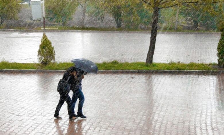
This system is bringing cold, wet, windy and unsettled conditions to KwaZulu-Natal this weekend.
ALSO READ: Hot, dry summer forecast for Zululand region as ‘very strong’ El Niño starts forming
The Western and Northern Cape will get hit first – on Thursday and Friday – before the cut-off low heads to the central and eastern interior, impacting the Free State, Gauteng, Eastern Cape and KZN.
What can KZN expect?
We can expect a noticeable drop in temperatures, scattered to widespread showers and thundershowers, and windy conditions from Friday into Sunday.
There is also a possibility of severe thunderstorms from Sunday morning.
SAWS said the exact location and intensity of the thunderstorms will depend on how the system develops, so keep checking the latest forecasts and weather updates.
Where severe thunderstorms develop, they could bring:
· Heavy downpours
· Localised flooding
· Strong, potentially damaging winds
· Excessive lightning
· Possible hail
Overview of the cut-off low
· Thursday to Friday: Cold, wet and windy conditions are expected across parts of the Western and Northern Cape, with possible flooding, damaging winds and rough seas.
· Friday to Saturday: The system moves towards the central interior, with showers, thundershowers and falling temperatures expected across areas including the Free State, Gauteng and North West.
· Sunday: The weather system shifts further east, increasing the risk of severe thunderstorms over parts of Mpumalanga and KZN.